Marine and coastal services
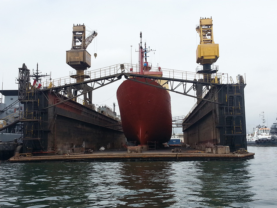
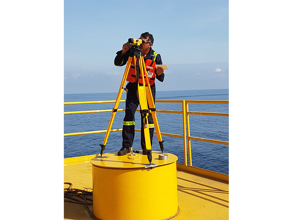
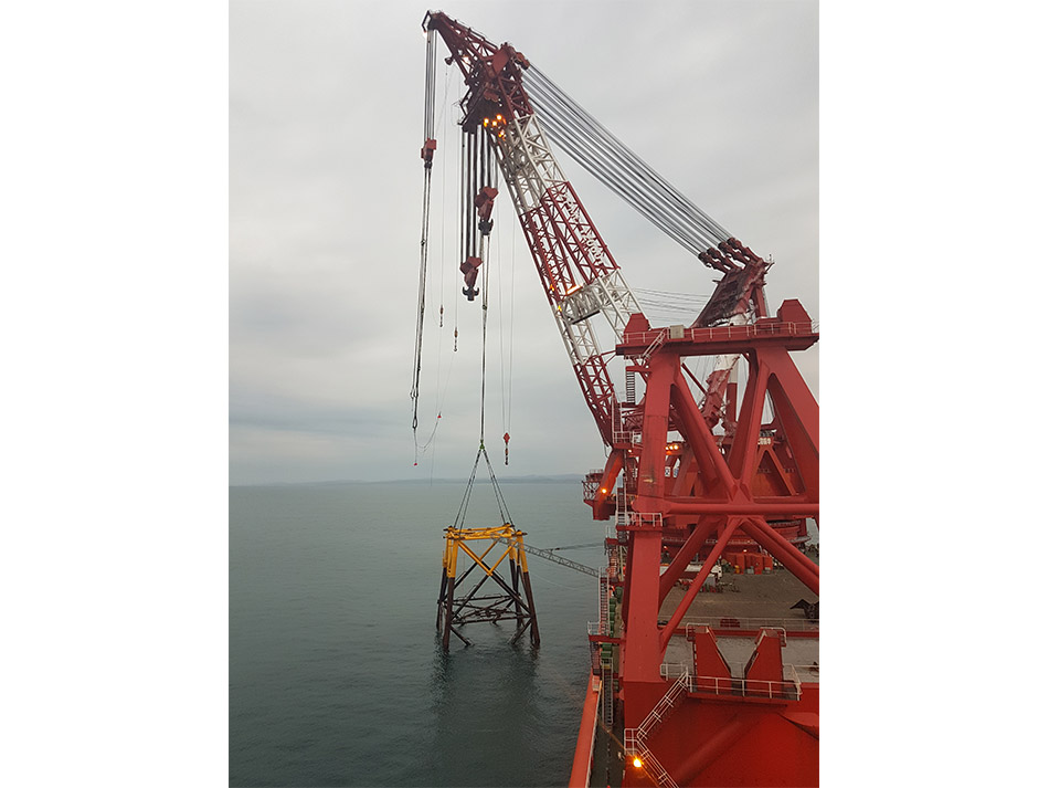
We have highly capacitated professionals, high tech equipment and expertise to support the activities related to engineering designs, construction, inspection and all the activities involved in installation and maintenance of offshore structures.
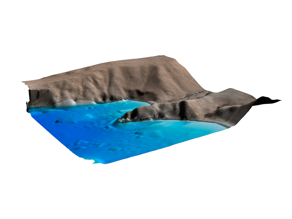
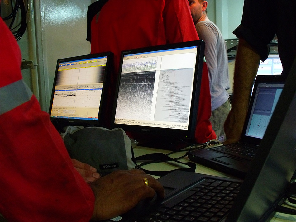
MGS is mainly dedicated to hydrographic and geophysical data acquisition, processing and integrated interpretation, focusing our surveys to obtain all the necessary information and data to provide you the best way and plan to move, install and locate your structure, foundations, pipeline, building, rig, platform, etc.
We have developed a strong experience surveying windfarm, drilling and construction areas, providing you a detailed geo-hazard analysis in order to keep your people, structures and equipment always safe. Our techniques allow us going far and locate sunken boats, vessels, planes, pipelines or any other item in the seabed you are interested in.
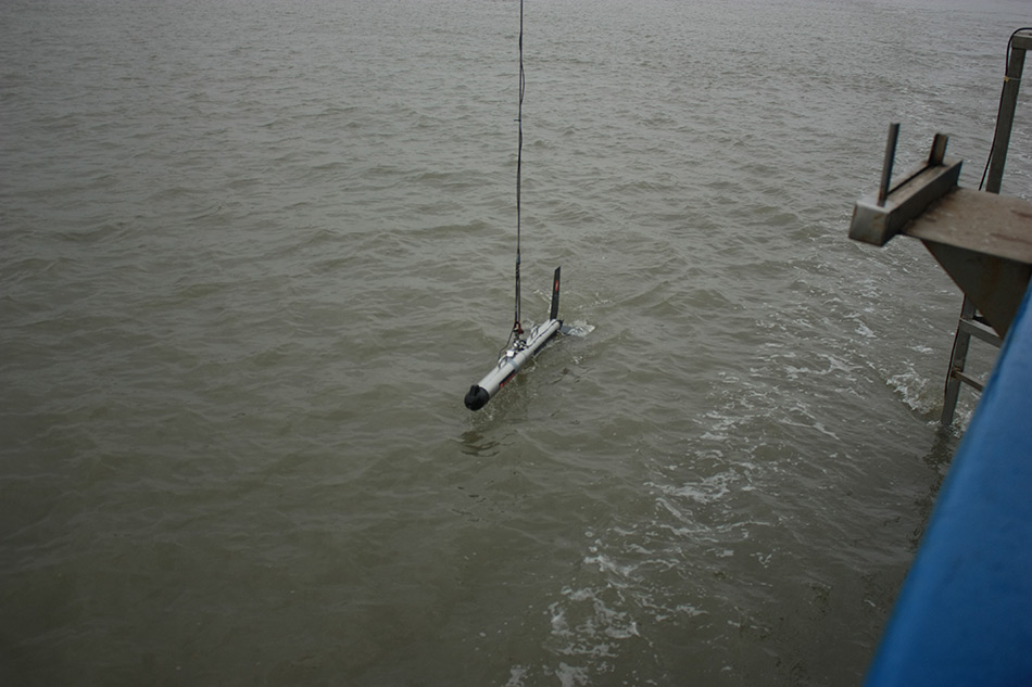
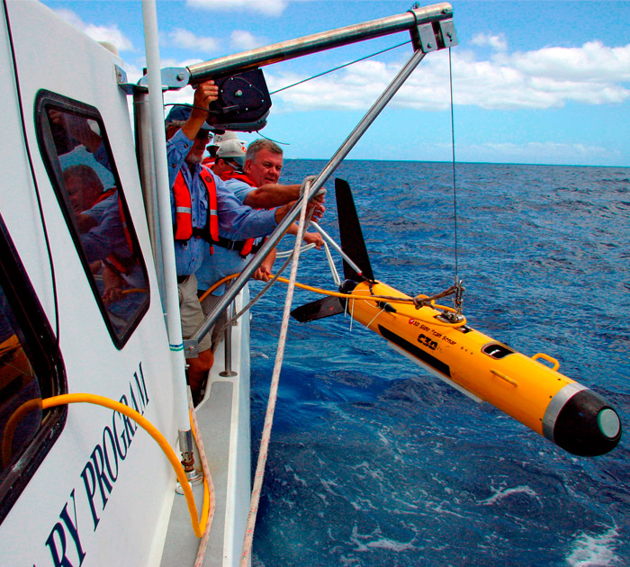
We also offer our experience in submersible remotely operated vehicles (ROV and AUV) to be your hands and eyes on the depths. In addition and based in our experience and capability, MGS is pioneer in personnel training and new talent formation for geophysical and hydrographic equipment and software operation.
Services:
Multibeam and single beam Bathymetry.
Topobathymetry (Multi and single beam bathymetry, diving bathymetry and topography data Integration).
Filler and dredging control.
Volumen computation.
Harbor and channel surveys.
Marine habitat mapping.
Port and harbor construction and control.
Hazard site assessment.
Seabed imagery.
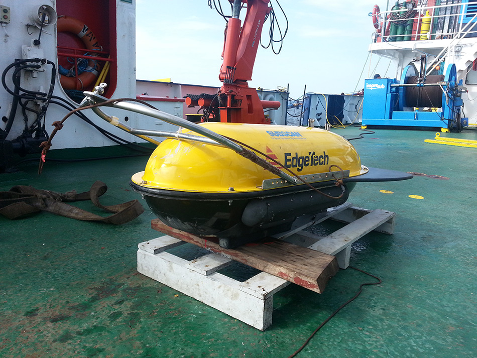
ROV and AUV (remotely operated vehicle).
Underwater search.
2D and 3D seismic surveys.
Seismic risk analysis.
Magnetometry.
Site and pre-commision surveys (Jack ups, windfarms, platforms, pipelines and cables).
Pipeline and cable detection.
Offshore Positioning.
Navigation, pipelines and cables routes, multi and single buoy mooring systems survey.
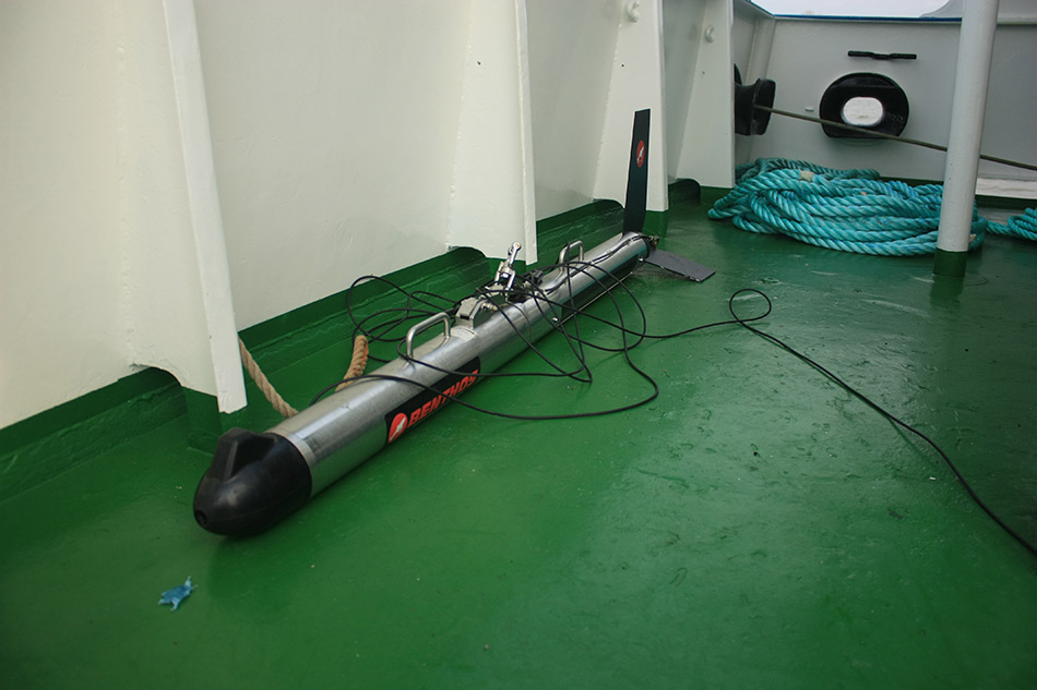
Sub Bottom Profiling.
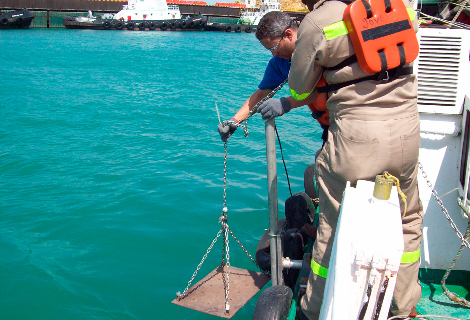
Sediment sampling.
Metocean surveys (currents, waves, tides wind, wheather, etc.).
Underwater 3D modeling.
Jack-Up, barges and vessel positioning.
Marine and coastal and fluvial modeling.
Bathymetric and marine geophysical data processing and interpretation.
UXO Surveys (Unexploded Ornaments).